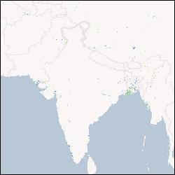
IWMI, 'Eight-day maximum flood inundation extent for South Asia using MODIS time-series imagery (MOD09A12003353.tif)', International Water Management Institute, 2013
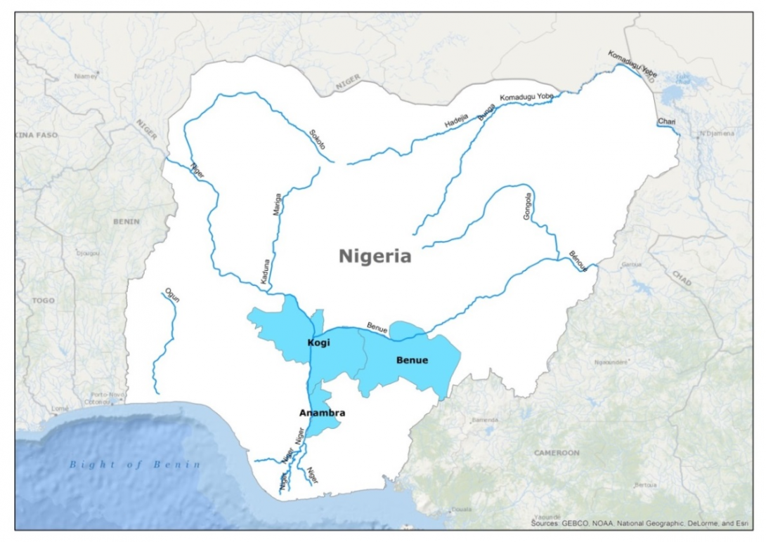
IWMI-Giriraj Amarnath, 'Maximum flood inundation extent derived using MODIS 8-day 500m surface reflectance data for Nigeria (2006225)', IWMI-Giriraj Amarnath, 2015
IWMI-Giriraj Amarnath, 'Maximum flood inundation extent derived using MODIS 8-day 500m surface reflectance data for Nigeria (2006017)', IWMI-Giriraj Amarnath, 2015
IWMI-Giriraj Amarnath, 'Maximum flood inundation extent derived using MODIS 8-day 500m surface reflectance data for Nigeria (2011209)', IWMI-Giriraj Amarnath, 2015
IWMI-Giriraj Amarnath, 'Maximum flood inundation extent derived using MODIS 8-day 500m surface reflectance data for Nigeria (2005217)', IWMI-Giriraj Amarnath, 2015
IWMI-Giriraj Amarnath, 'Monthly maximum flood inundation extent derived using MODIS 8-day 500m surface reflectance data for Nigeria (2004-Apr)', IWMI-Giriraj Amarnath, 2015
IWMI-Giriraj Amarnath, 'Monthly maximum flood inundation extent derived using MODIS 8-day 500m surface reflectance data for Nigeria (2010-Aug)', IWMI-Giriraj Amarnath, 2015
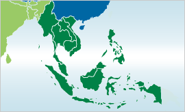
IWMI-Giriraj Amarnath, 'Maximum flood inundation extent derived using MODIS 8-day 500m surface reflectance data for South East Asia (2004065)', IWMI-Giriraj Amarnath, 2015
IWMI-Giriraj Amarnath, 'Early maximum flood inundation extent derived using MODIS 8-day 500m surface reflectance data for South East Asia (2006)', IWMI-Giriraj Amarnath, 2015
International Water Management Institute (IWMI). 2020. IWMI Annual report 2019. Colombo, Sri Lanka: International Water Management Institute (IWMI). 60p. [doi: 10.5337/2020.208]
To use or reference this resource, specify the following information: Lainé, Gérard; Baleux, François, 2019, "Carte de la sole bananière - 1997 - Guadeloupe", doi:10.18167/DVN1/UVDXJ0, CIRAD Dataverse, V1