Initiative on Climate Resilience (ClimBeR): Participatory Climate Risk Mapping and Adaptation Planning in Agusan Del Norte and Agusan Del Sur

Abstract
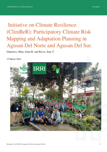
The provinces of Agusan del Sur and Agusan del Norte in the Caraga Region of the Philippines frequently experience extreme weather events, particularly recurring floods. These floods are caused not only by typhoons but also by the provinces’ role as catch basins for nearby communities. To help address these challenges, the CGIAR Research Initiative on Climate Resilience (ClimBeR) implemented the Climate-Smart Mapping and Adaptation Planning (CS-MAP) approach, a participatory mapping methodology developed by CCAFS-SEA. With strong support and involvement from local government unit members at both the municipal and provincial levels, this approach was succesfully conducted to identify climate-related risks, map vulnerable areas, and develop location-specific adaptation plans.
A key insight from this activity emphasized the importance of open and accurate information-sharing by participants to ensure comprehensive results. The outcomes are expected to play a critical role in local decision-making and planning, particularly in identifying interventions to support rice farmers in adapting to climate-related challenges.