Dataset / Geospatial
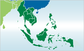
Monthly maximum flood inundation extent derived using MODIS 8-day 500m surface reflectance data for South East Asia (2010-Jun)

Abstract
The data contains composite monthly map derived from 8-day maximum flood extent using MOD09A1 (500m) surface reflectance time-series imagery