van Breugel P et al., 'Potential Natural Vegetation Map of Eastern Africa (Burundi, Ethiopia, Kenya Malawi, Rwanda, Tanzania, Uganda and Zambia) Version 2.0', 2015
IWMI, 'Eight-day maximum flood inundation extent for South Asia using MODIS time-series imagery (MOD09A12010225.tif)', International Water Management Institute, 2013
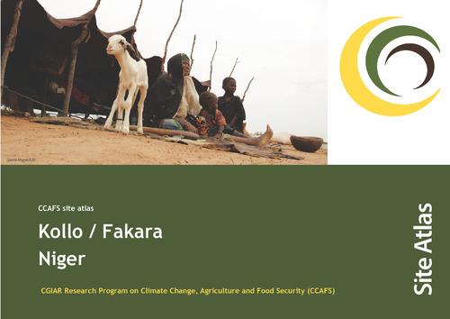
Sijmons K, Kiplimo J, Förch W, Thornton PK, Moussa AS, Zougmoré R. 2013. CCAFS site atlas – Kollo / Fakara. CCAFS Site Atlas Series. Copenhagen, Denmark: The CGIAR Research Program on Climate Change, Agriculture and Food Security (CCAFS).
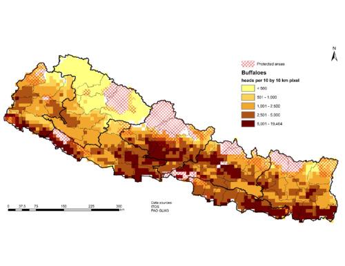
Sonder, K., & Lopez-Ridaura, S. (2023). Series of thematic maps on biophysical and socioeconomic status of Nepal to guide targeting of agricultural technologies. Mexico. CIMMYT. https://hdl.handle.net/10883/23053
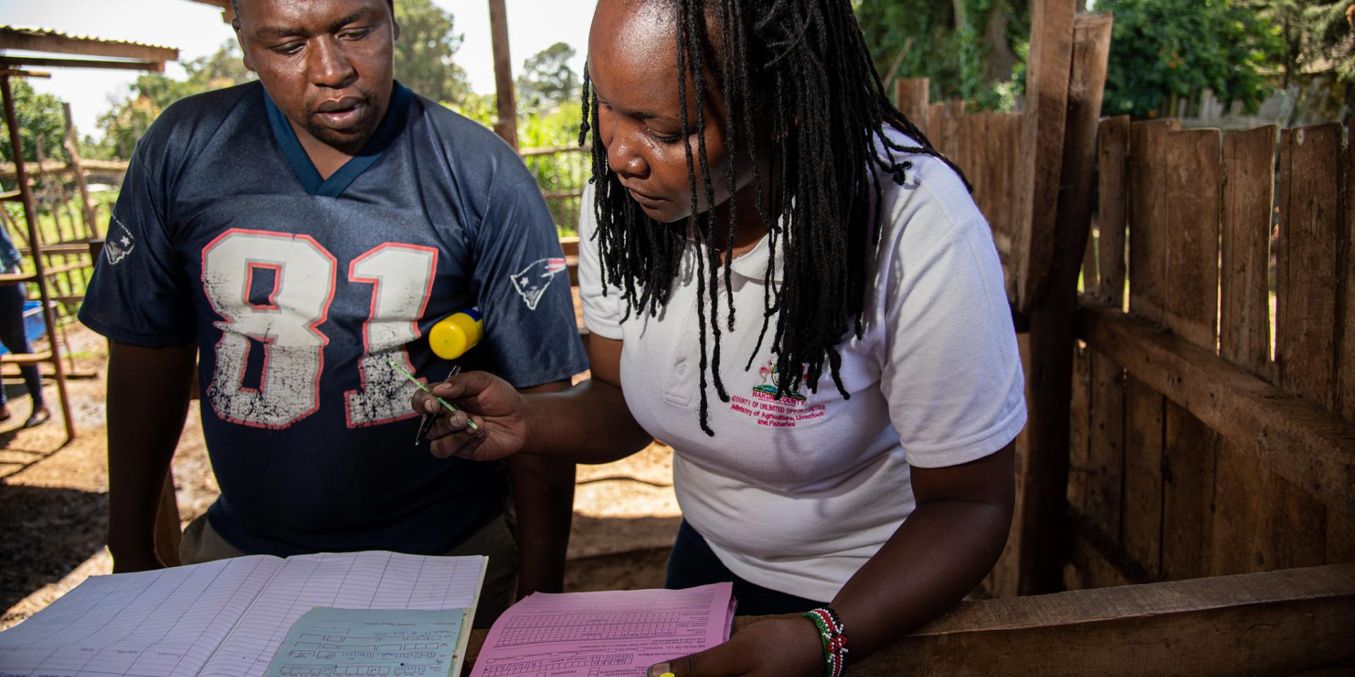
Barria, Agustin; Houston, Ross; Benzie, John, 2022, "Data generated for the publication entitled “A major quantitative trait locus affecting resistance to Tilapia lake virus in farmed Nile tilapia (Oreochromis niloticus “", https://doi.org/10.7910/DVN/R12ARL, Harvard Dataverse, V1
IWMI, 'Eight-day maximum flood inundation extent for South Asia using MODIS time-series imagery (MOD09A12008185.tif)', International Water Management Institute, 2013
IWMI, 'Eight-day maximum flood inundation extent for South Asia using MODIS time-series imagery (MOD09A12002353.tif)', International Water Management Institute, 2013