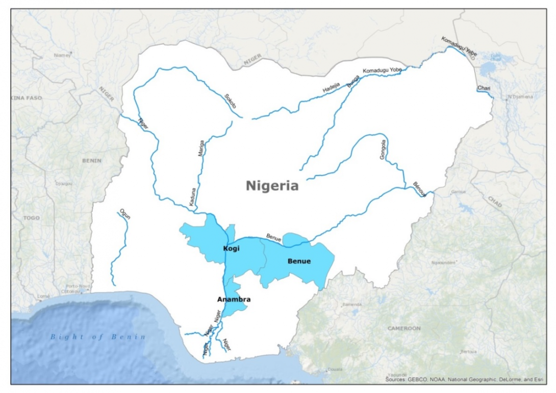
IWMI-Giriraj Amarnath, 'Maximum flood inundation extent derived using MODIS 8-day 500m surface reflectance data for Nigeria (2013345)', IWMI-Giriraj Amarnath, 2015
International Food Policy Research Institute, 2019, "Global Spatially-Disaggregated Crop Production Statistics Data for 2000 Version 3.0.7", https://doi.org/10.7910/DVN/A50I2T, Harvard Dataverse, V2, UNF:6:ikCh6KeB4r2u/p2tkbFDOw== [fileUNF]
IWMI-Giriraj Amarnath, 'Maximum flood inundation extent derived using MODIS 8-day 500m surface reflectance data for Nigeria (2014225)', IWMI-Giriraj Amarnath, 2015
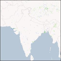
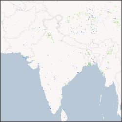
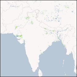
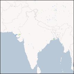
IWMI, 'Eight-day maximum flood inundation extent for South Asia using MODIS time-series imagery (MOD09A12001105.tif)', International Water Management Institute, 2013
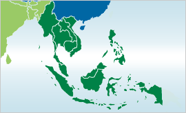
IWMI-Giriraj Amarnath, 'Maximum flood inundation extent derived using MODIS 8-day 500m surface reflectance data for South East Asia (2003329)', IWMI-Giriraj Amarnath, 2015
IWMI-Giriraj Amarnath, 'Maximum flood inundation extent derived using MODIS 8-day 500m surface reflectance data for South East Asia (2013073)', IWMI-Giriraj Amarnath, 2015
IWMI-Giriraj Amarnath, 'Monthly maximum flood inundation extent derived using MODIS 8-day 500m surface reflectance data for Nigeria (2009-Jul)', IWMI-Giriraj Amarnath, 2015
IWMI-Giriraj Amarnath, 'Maximum flood inundation extent derived using MODIS 8-day 500m surface reflectance data for South East Asia (2005161)', IWMI-Giriraj Amarnath, 2015
IWMI-Giriraj Amarnath, 'Maximum flood inundation extent derived using MODIS 8-day 500m surface reflectance data for Nigeria (2011265)', IWMI-Giriraj Amarnath, 2015